Rakaposhi
7,788m | One of Earth's greatest vertical rises
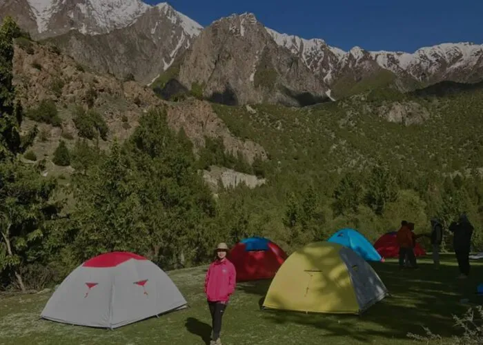
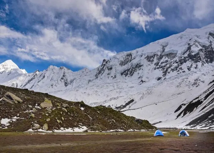
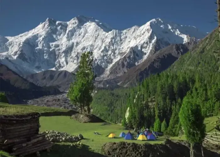
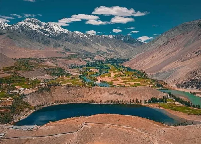
Photo Gallery
The Jewel of Hunza
Rakaposhi rises an astonishing 5,900 metres from the Hunza River to its 7,788-metre summit, making it one of the greatest base-to-peak vertical rises on Earth. This immense wall of ice and rock dominates the skyline of the Hunza Valley and is visible for much of the journey along the Karakoram Highway. Its name, derived from the local Burushaski language, means "shining wall" — a fitting description for a mountain whose massive glaciated flanks catch the light at every hour of the day.
First climbed in 1958 by British mountaineers Mike Banks and Tom Patey via the Southwest Spur, Rakaposhi has a storied climbing history marked by both triumph and tragedy. The mountain's sheer scale and complex glacier systems make every route a serious undertaking, and its notorious avalanche-prone slopes have turned back many experienced expeditions. Despite its proximity to one of Pakistan's most accessible valleys, Rakaposhi remains a formidable and respected objective in the world of high-altitude mountaineering.
The standard route today follows the Northwest Ridge, a long and demanding line that involves extensive glacier travel through heavily crevassed terrain, steep snow and ice slopes of up to 55 degrees, and exposed ridgeline climbing at extreme altitude. Climbers must navigate several icefall sections and negotiate the mountain's complex weather patterns, where storms can develop rapidly and temperatures plummet without warning. The expedition typically requires multiple camps above base camp, with careful acclimatisation rotations essential for a safe and successful ascent.
Quick Facts
7,788m
Elevation (25,551 ft)
1958
First Ascent (Banks & Patey)
~20%
Success Rate
Jun–Aug
Best Season
35–45 Days
Duration
Extreme
Difficulty / Technical
The Northwest Ridge
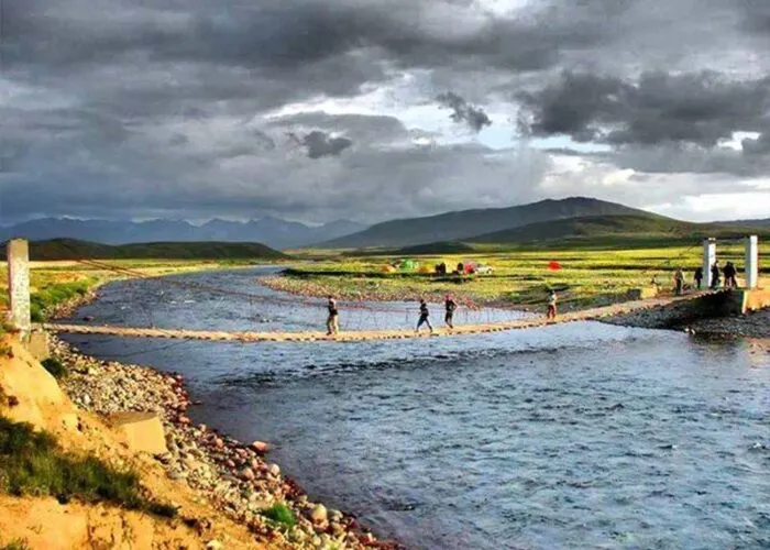
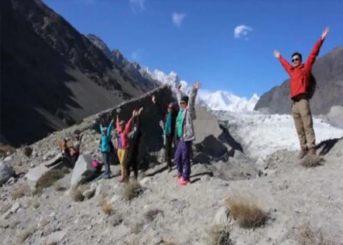
The Northwest Ridge is Rakaposhi's standard route and the line most commonly attempted by modern expeditions. The approach begins from the village of Jaglot in the Hunza Valley, following a trail through terraced fields and alpine meadows before reaching the Rakaposhi Glacier. Base Camp is established at approximately 3,800 metres on the moraine above the glacier, providing commanding views of the massive northwest face.
From Base Camp, the route ascends the glacier to Camp 1 at around 4,900 metres. The stretch between Camp 1 and Camp 2 (approximately 5,800m) is one of the most demanding sections, involving steep ice slopes and exposed traverses across avalanche-prone terrain. Camp 3 is placed at roughly 6,600 metres on a shoulder of the ridge, where the route narrows and becomes increasingly exposed to wind and weather. The final push to the 7,788-metre summit involves sustained climbing on steep snow and ice with significant exposure on both sides of the ridgeline.
The descent follows the same route, with fixed ropes essential through the steeper sections. Teams typically plan for at least two acclimatisation rotations before the summit bid, spending time at each camp to allow their bodies to adapt to the thinning air. The entire expedition requires excellent glacier travel skills, confidence on steep ice, and the ability to manage risk in a remote and committing environment far from easy rescue.
What's Included
- Expedition permit and peak royalty fee
- Liaison officer and base camp staff
- All camps, tents, and high-altitude equipment
- Supplemental oxygen and medical supplies
- Approach logistics from Hunza Valley
- Experienced high-altitude Sherpa team
Join Our Next Rakaposhi Expedition
Contact us for upcoming expedition dates, detailed itineraries, and pricing information