Spantik — The Golden Pillar
7,027m | A classic Karakoram objective
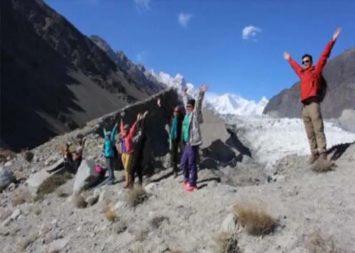
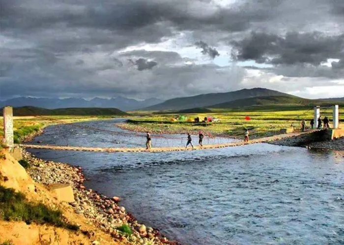
Photo Gallery
A Classic High-Altitude Climb
Spantik, also known as the Golden Pillar, is a striking 7,027-metre peak located in the Spantik-Sosbun range near Nagar Valley in the heart of the Karakoram. The mountain earned its famous nickname from its southeast pillar, a soaring rock buttress that catches the first rays of the morning sun, creating a spectacular golden glow that has captivated mountaineers and photographers for decades. First climbed in 1955 by a German-Austrian expedition, Spantik has since become one of the most sought-after objectives in the Karakoram.
The normal route via the Southeast Ridge is a serious but achievable objective for experienced mountaineers with solid high-altitude credentials. Unlike the brutally technical Golden Pillar route on the southeast face — which remains one of the great alpine challenges of the Karakoram — the standard route offers a more measured progression through glacier travel, moderate snow slopes, and exposed ridge climbing. This combination of challenge and accessibility has made Spantik exceptionally popular as a stepping stone for climbers preparing to tackle 8000-metre peaks.
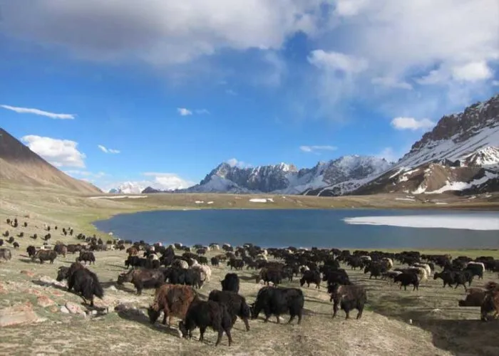
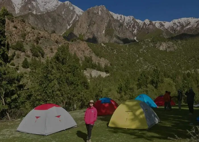
The approach to Spantik passes through some of the most beautiful and remote landscapes in northern Pakistan. From the village of Arandu, trekkers follow ancient trails along glacier-fed rivers, crossing moraine fields and navigating through narrow valleys flanked by towering granite walls. The isolation of the mountain and the length of the approach add a genuine expedition character to the climb, requiring self-sufficiency and careful logistical planning that serve as excellent preparation for larger Himalayan and Karakoram objectives.
Quick Facts
7,027m
Elevation (23,054 ft)
1955
First Ascent (German-Austrian)
~35%
Success Rate
Jun–Aug
Best Season
30–40 Days
Duration
Extreme
Difficulty / Technical
The Southeast Ridge
The Southeast Ridge is Spantik's standard route and the most commonly attempted line on the mountain. The expedition begins with a trek from Arandu village in the Nagar Valley, following the Chogolungma Glacier for several days to reach Base Camp at approximately 4,200 metres. The approach itself takes 3-4 days and passes through spectacular high-altitude desert terrain before reaching the glacier system that leads to the foot of the mountain.
From Base Camp, the route ascends the glacier to Camp 1 at around 5,200 metres, established on a relatively sheltered snow plateau. The climb continues through a moderate icefall to Camp 2 at approximately 5,900 metres, where the ridge proper begins to take shape. The section between Camp 2 and Camp 3 (roughly 6,400m) is the most technically demanding part of the standard route, involving sustained climbing on 40-50 degree snow and ice slopes with occasional rocky sections that require careful route-finding.
Camp 3 serves as the high camp for the summit bid. From here, climbers follow the narrowing ridge toward the summit, with increasing exposure on both flanks. The final push involves 600 metres of vertical gain on moderate but relentless snow slopes, often in biting wind. Summit day typically requires 8-10 hours of climbing, with teams departing well before dawn to maximise the window of good weather. The descent retraces the ascent route, with fixed ropes providing security through the steeper sections.
What's Included
- Expedition permit and peak royalty fee
- Liaison officer and base camp staff
- All camps, tents, and high-altitude equipment
- Supplemental oxygen and medical supplies
- Approach trek logistics from Nagar Valley
- Experienced high-altitude Sherpa team
Join Our Next Spantik Expedition
Contact us for upcoming expedition dates, detailed itineraries, and pricing information