K2 — The Savage Mountain
8,611m | The world's most challenging summit
Photo Gallery
The Ultimate Mountaineering Challenge
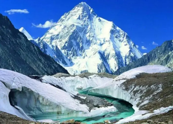
K2 stands at 8,611 metres in the Karakoram Range, straddling the Pakistan-China border. It is the second-highest mountain on Earth, yet it is widely considered the hardest of all fourteen 8000-metre peaks to climb. Known as the "Savage Mountain" for its extreme difficulty and historically high fatality rate, K2 demands absolute commitment, elite technical skill, and unwavering mental fortitude from every climber who attempts it.
The standard Abruzzi Spur route involves sustained technical rock, ice, and mixed climbing through some of the most dangerous terrain in high-altitude mountaineering — including the notorious Bottleneck couloir, a steep gully directly beneath a massive wall of unstable seracs. Only around 400 people have ever reached the summit, compared to the thousands who have stood atop Everest. The mountain's steep, pyramidal shape sheds weather violently and offers no easy line of ascent from any direction.
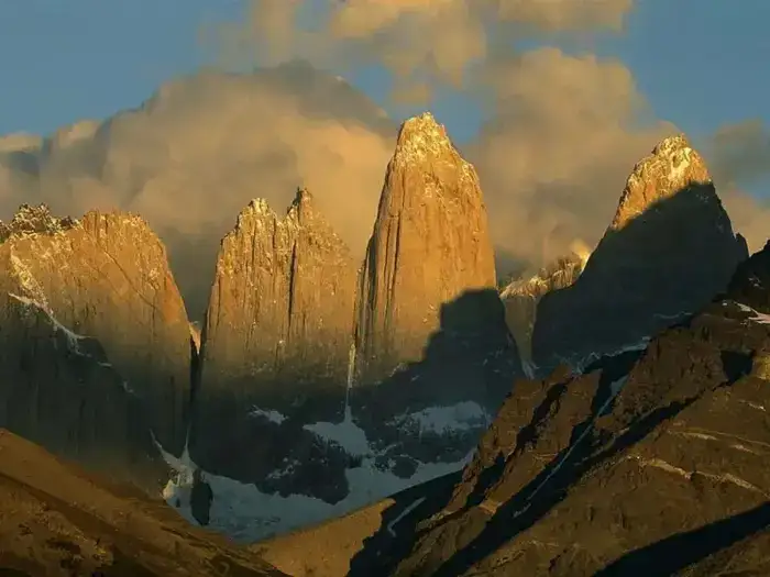
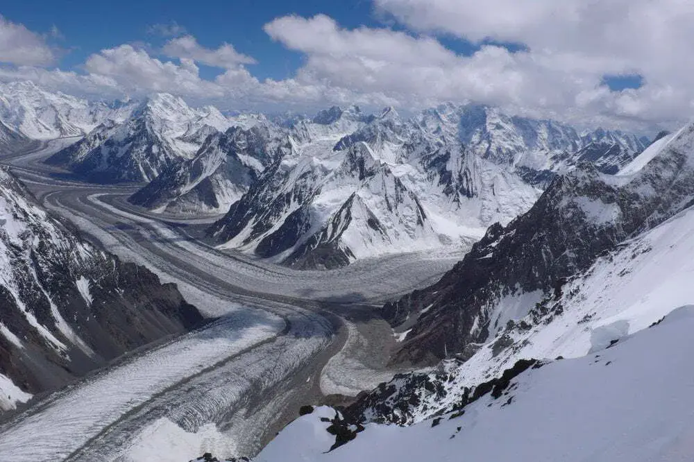
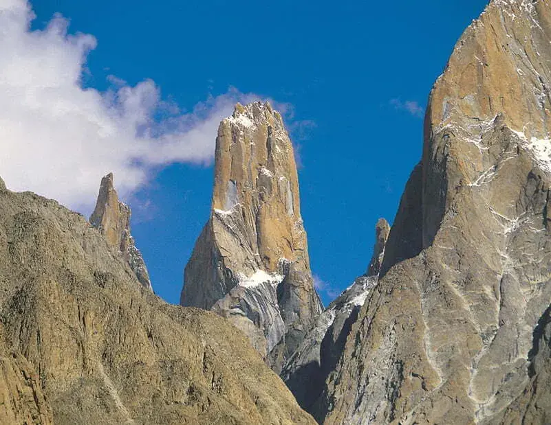
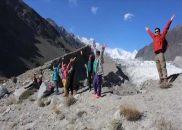
Located at the head of the Baltoro Glacier, the approach trek itself is a legendary 7-day journey through some of the most dramatic mountain scenery on Earth. Trekkers pass through the granite cathedral of the Trango Towers, beneath the sheer walls of the Masherbrum massif, and arrive at Concordia — the confluence of the Baltoro and Godwin-Austen glaciers — where four 8000-metre peaks are visible simultaneously. It is a pilgrimage that every serious mountaineer dreams of making at least once in a lifetime.
Quick Facts
8,611m
Elevation (28,251 ft)
1954
First Ascent (Italian expedition)
~27%
Success Rate
Jun–Aug
Best Season
60–70 Days
Duration
Extreme
Difficulty / Technical
The Abruzzi Spur
The Abruzzi Spur is K2's most historically significant and commonly attempted route, first pioneered by Luigi Amedeo, Duke of the Abruzzi, in 1909 and finally completed by the Italian team of Achille Compagnoni and Lino Lacedelli in 1954. The route ascends the southeast ridge of K2, a line that is both logical and relentless in its technical demands.
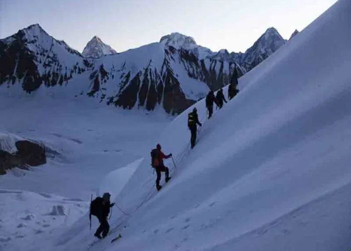
From Base Camp at approximately 5,000 metres on the Godwin-Austen Glacier, climbers establish Camp 1 at 6,100m on the lower spur. The route climbs through a series of rocky buttresses and chimneys to Camp 2 at 6,700m, where teams acclimatise before pushing higher. Camp 3 is established at 7,300m, just below the Black Pyramid — a steep, mixed rock-and-ice section that is one of the route's crux passages and demands careful fixed-rope placement.
Above the Black Pyramid lies the Shoulder at roughly 7,800m, where Camp 4 is established for the summit bid. From here, climbers face the Bottleneck — a steep, narrow couloir of hard ice at approximately 8,200m that passes directly beneath a massive wall of hanging seracs. This is the most dangerous section of the entire climb, where timing and speed are critical. After clearing the Bottleneck and traversing left across the face, the final push to the 8,611m summit follows a steep snow slope. Most summit attempts begin around midnight, aiming to reach the top by midday to allow a safe descent in daylight.
What's Included
- Expedition permit and peak royalty fee
- Liaison officer and base camp staff
- All camps, tents, and high-altitude equipment
- Supplemental oxygen and medical supplies
- Baltoro Glacier approach trek logistics
- Experienced high-altitude Sherpa team
Join Our Next K2 Expedition
Contact us for upcoming expedition dates, detailed itineraries, and pricing information