Batura Glacier Trek
Pasture walking beside the world's 7th-longest non-polar glacier
Last updated: · Reviewed by Javeed Iqbal, Founder
Duration
8-10 Days
Difficulty
Moderate-Strenuous
Group Size
4-12 Trekkers
Best Season
Jun-Sep
About This Tour
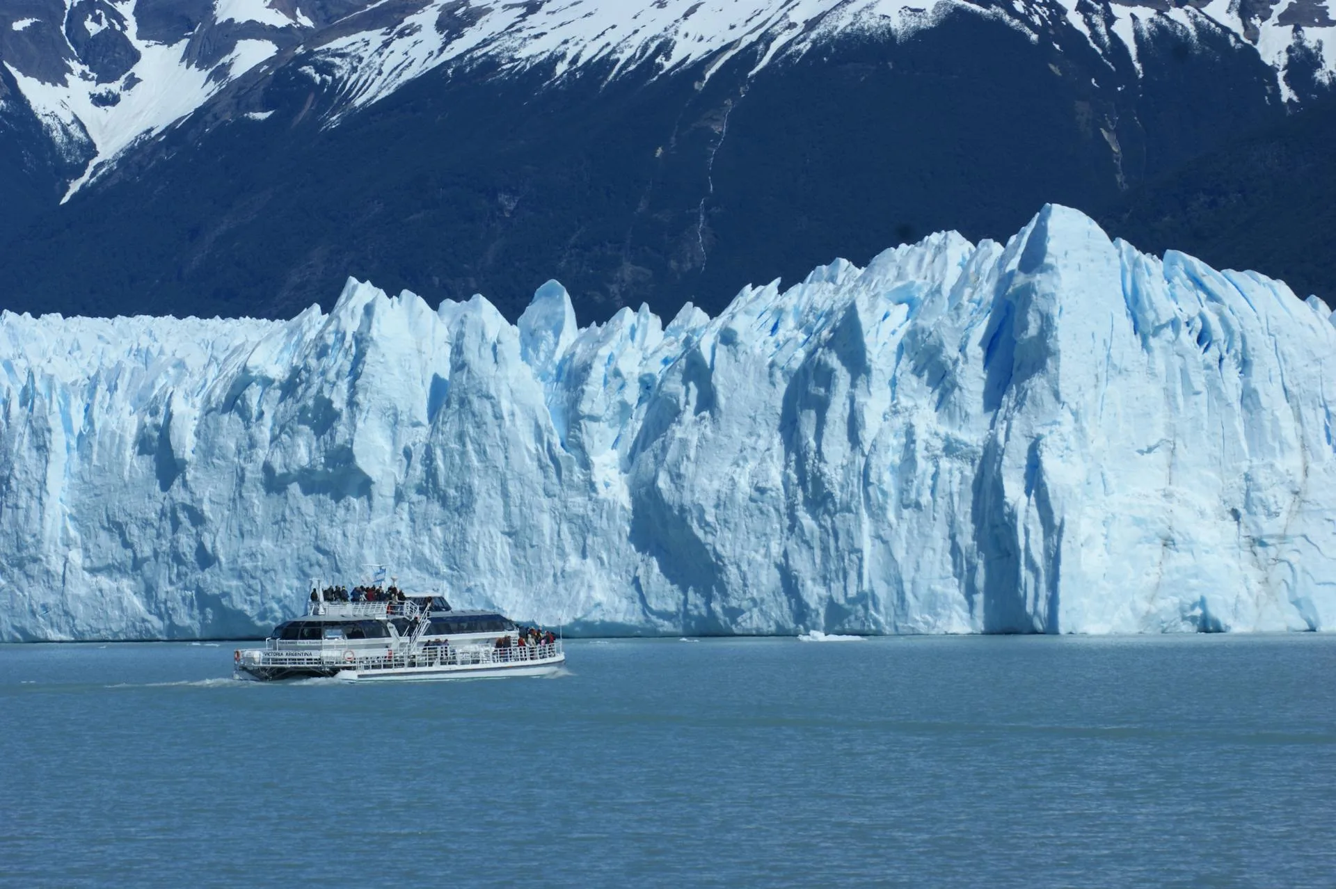
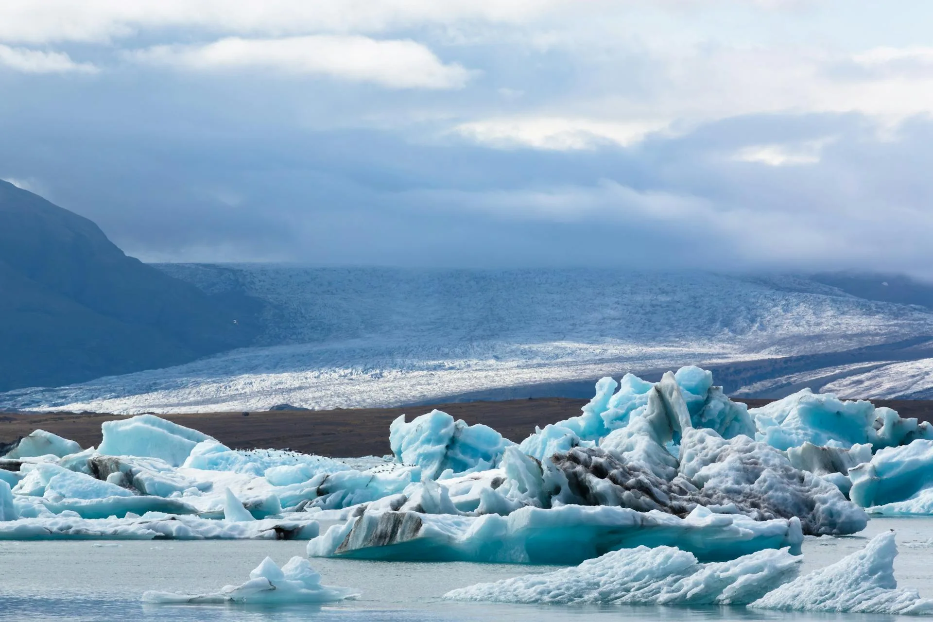
The Batura Glacier runs 57 kilometres down the Batura Muztagh in upper Hunza, which makes it the seventh-longest glacier outside the polar regions. It flows from the high snows of Batura Sar (7,795 m) and Shispare (7,611 m) toward the Karakoram Highway at Passu. We do not traverse the ice itself. This trek follows the grassy lateral pastures along its northern flank, the summer ground that Wakhi shepherds from Passu have used for generations.
What makes it special is the scale set against the simplicity of the walking. You spend your days on shepherd paths through pasture and moraine, with a 57 km river of ice grinding along beside you and 7,000 metre peaks closing the head of every side valley. The settlements are seasonal: a few stone huts at Yashpirt where herders bring yaks and goats, wildflowers in the meltwater hollows, apricots and mulberries waiting back down in Passu when you return.
Honestly, this is a moderate trek and that is the point. There is no high pass, no roped glacier crossing, no technical ground. The real hazards are unstable moraine near the ice edge, a few stream crossings that run high on hot afternoons, and the usual mountain weather. Altitude stays modest by Karakoram standards, so the risk of mountain sickness is lower here than on the Baltoro or Snow Lake. It is a fair first Karakoram trek and a quiet wilderness alternative to the crowded K2 trail.
Our trek runs 8 to 10 days from Islamabad and back, with roughly four days walking the pastures from Passu to the high meadows and out again. A licensed Passu guide and a porter team handle camp and loads. You carry a daypack, sleep in tents on the pasture, and eat food cooked over the stove. We keep the itinerary flexible: the far meadows and viewpoints depend on stream levels and weather, and we would rather turn a day around than push a bad crossing.
The Route: Pastures Above the Ice
The trek starts at the edge of Passu village on the KKH, around 2,500 m. The first day climbs off the road to Yunzben, a green pasture at the foot of the glacier where we make the first camp. From there the path threads through Ujhoupirt to the yak pastures at Yashpirt, about 3,400 m, the classic summer herding ground with stone huts, grazing animals and wildflowers in season.
Higher up, the route reaches the meadows around Guchism, a high pasture ringed by hanging ice cliffs that serves as the usual turnaround and viewpoint for the trek. We hold an acclimatisation or rest day here before returning down the same pastures to the Passu roadhead. There is no loop and no pass; the reward is the glacier itself and the shepherd country along its bank.
Day-by-Day Itinerary
1Islamabad to Karimabad
Islamabad to Karimabad
2Karimabad to Passu
Karimabad to Passu
3Passu to Yunzben
Passu to Yunzben
4Yunzben to Yashpirt
Yunzben to Yashpirt
5Yashpirt to Guchism
Yashpirt to Guchism
6Rest and Viewpoint Day
Rest and Viewpoint Day
7Guchism to Yashpirt
Guchism to Yashpirt
8Return to Passu
Return to Passu
9Passu to Karimabad or Gilgit
Passu to Karimabad or Gilgit
10Return to Islamabad
Return to Islamabad
Best Time to Trek the Batura Glacier
The season runs June to October. Midsummer gives the warmest pasture nights and the herders are up at Yashpirt with their animals, so the settlements feel alive rather than empty. September brings clearer air and cooler walking once the herding season winds down. Streams off the glacier run highest on hot July and August afternoons, which is why we cross them in the morning where we can.
Permits, Fees and Getting There
Batura sits in the Open Zone of upper Hunza (Gojal), so there is no formal restricted-zone trekking permit and no CKNP fee. You pay local community and nature-trust fees, and a licensed guide is standard practice; we bundle both. Access is straightforward by Karakoram Highway standards: Islamabad to Hunza, then on to Passu, where the trek begins at the village edge with no long jeep approach.
Fitness and What to Pack
This is a fitness trek, not a skills trek. If you can walk five to six hours a day on uneven ground for several days running, you can do it. Bring proper boots with ankle support for the moraine, trekking poles for the stream crossings and loose ground, and layers for cold pasture nights even in summer. We supply tents, cooking and group gear; you bring a sleeping bag rated for freezing nights, sun protection and a personal first-aid kit.
Where Is the Batura Glacier and How Long Is It?
The Batura Glacier lies in upper Hunza (Gojal), Gilgit-Baltistan, running down from the Batura Muztagh just west of the Karakoram Highway near Passu. At about 57 kilometres it is one of the longest glaciers outside the polar regions, usually ranked around the seventh-longest non-polar ice river on Earth. The trek does not walk on the glacier itself so much as follow the ablation valley and high summer pastures along its northern flank, starting from Passu village right on the KKH, so the approach is short and there is no long jeep day. From there you climb gradually past Wakhi shepherd settlements to grazing camps with the ice on one side and 7,000-metre peaks above, reaching around 3,900 metres at the highest camps.
Along the Ice: Passu Cones, Shepherd Camps and Batura Sar
This is a trek about living landscape rather than a single summit view. The saw-toothed Passu Cones rise straight above the trailhead, and as you gain height the Batura wall opens up, crowned by Batura Sar (7,795 m), one of the highest mountains in the world outside the eight-thousanders, with Passu Sar and Shispar alongside. The route threads through the summer camps of Wakhi herders, where families graze yaks, sheep and goats on the high meadows through the warm months, so you pass stone huts, grazing animals and irrigation channels rather than an empty wilderness. The contrast of green pasture, glacier ice and huge peaks in a single frame is what makes the Batura trek quietly one of the best in Hunza.
Why Book With Us
We are a Gilgit-Baltistan operator running trips since 2015, and our Batura guides and porters come from Passu itself: this is the pasture their own families herd. That local hand matters when a stream is running high or weather closes the high meadow. We keep groups small, we will not push an unsafe crossing to tick off a viewpoint, and we are honest that this is a moderate pasture trek rather than a high-altitude epic.
What's Included
Not Included
Frequently Asked Questions
How hard is the Batura Glacier trek?
How hard is the Batura Glacier trek?
Is the Batura Glacier trek dangerous?
Is the Batura Glacier trek dangerous?
How long is the Batura Glacier?
How long is the Batura Glacier?
How high does the Batura trek go?
How high does the Batura trek go?
What is the best time to trek the Batura Glacier?
What is the best time to trek the Batura Glacier?
Do I need a permit for the Batura Glacier trek?
Do I need a permit for the Batura Glacier trek?
Where does the Batura trek start?
Where does the Batura trek start?
How fit do I need to be for the Batura trek?
How fit do I need to be for the Batura trek?
Where is the Batura Glacier?
Where is the Batura Glacier?
What will I see on the Batura Glacier trek?
What will I see on the Batura Glacier trek?
How do you get to the start of the Batura trek?
How do you get to the start of the Batura trek?
What is the weather like on the Batura Glacier trek?
What is the weather like on the Batura Glacier trek?
Ready for Your Next Adventure?
Join our community of explorers and discover the journey of a lifetime. Our expert team is ready to help you plan your perfect expedition.