Hunza to Khunjerab
7–9 Days | From Cherry Blossoms to the China Border
Photo Gallery
From Cherry Blossoms to the China Border
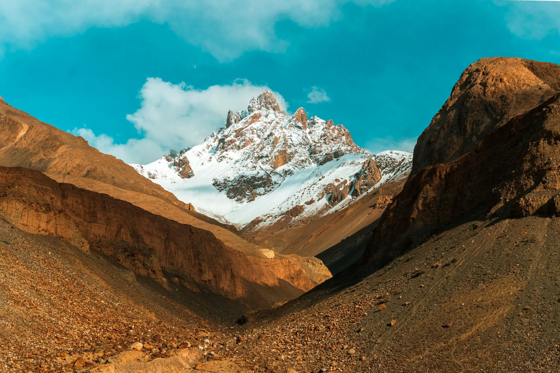
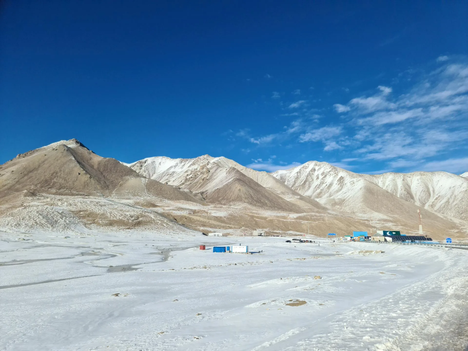
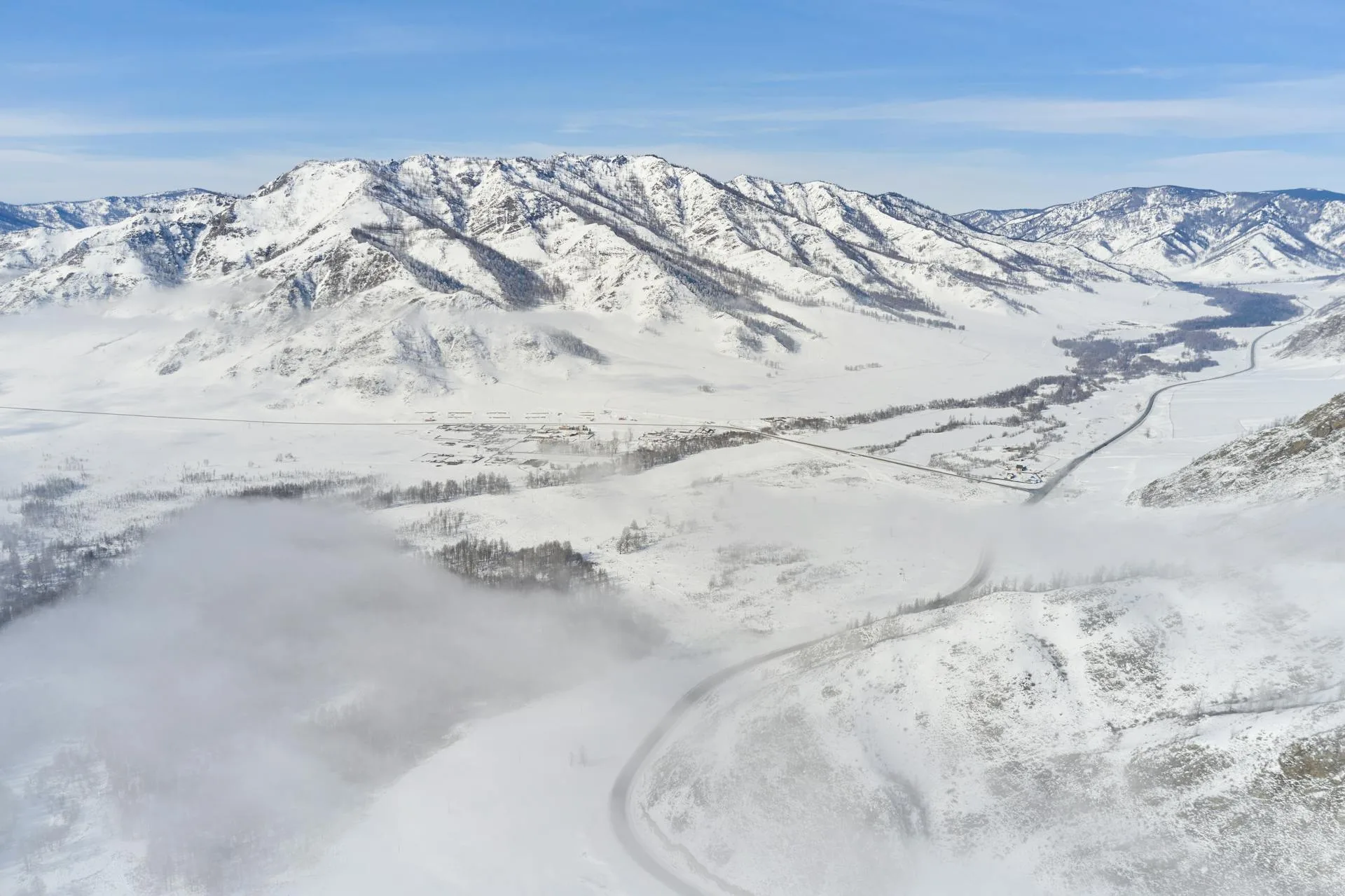
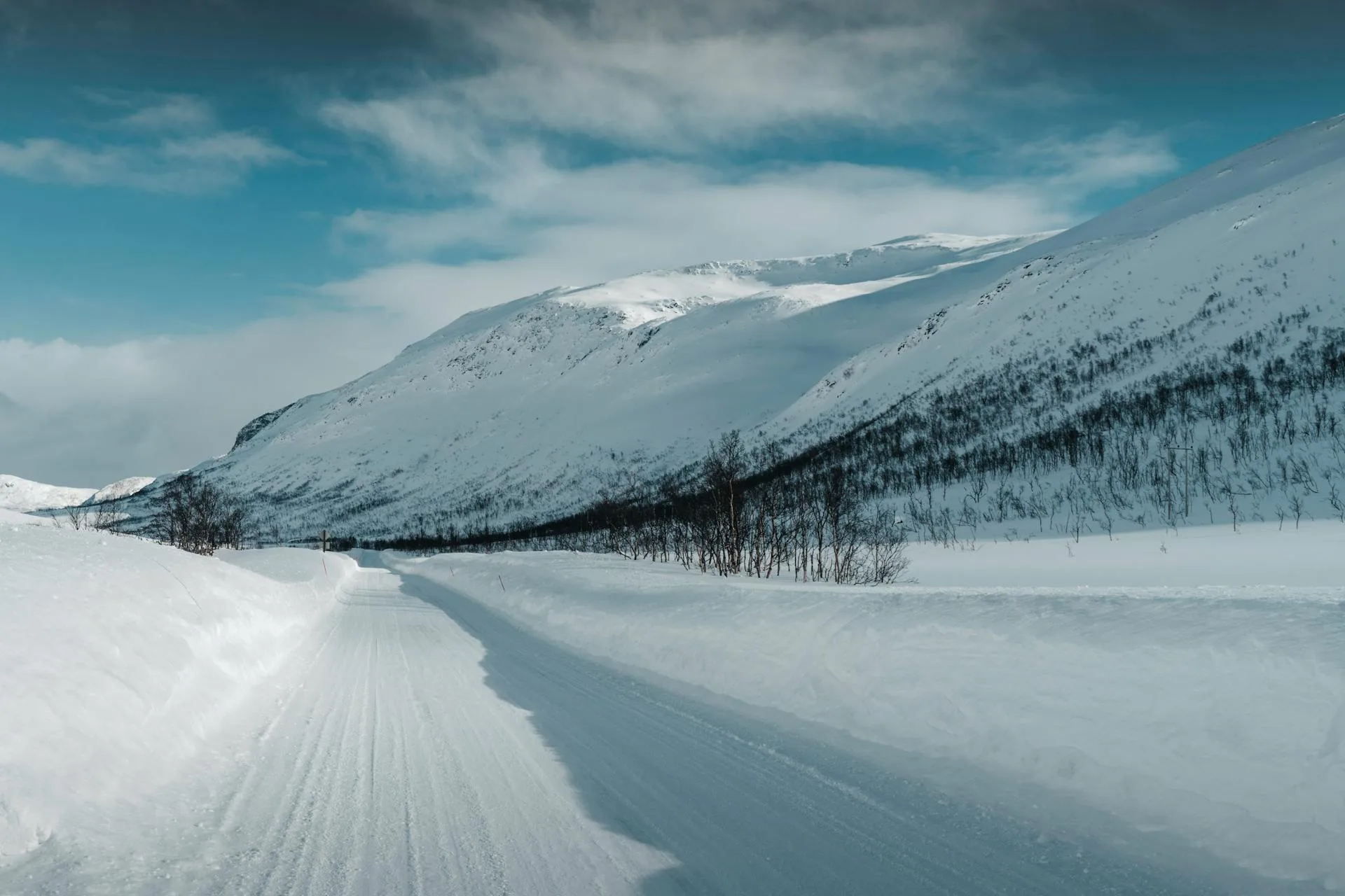
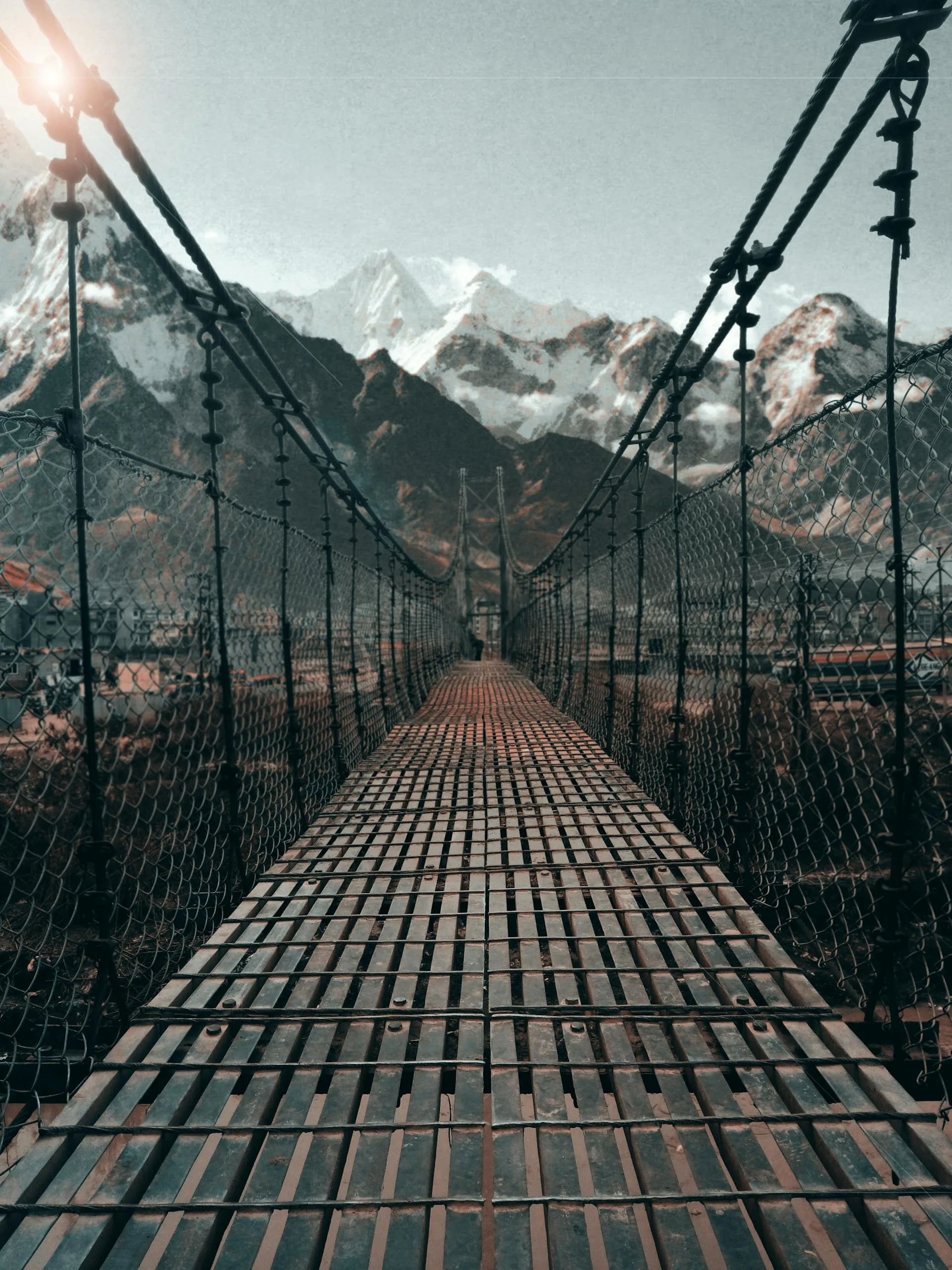
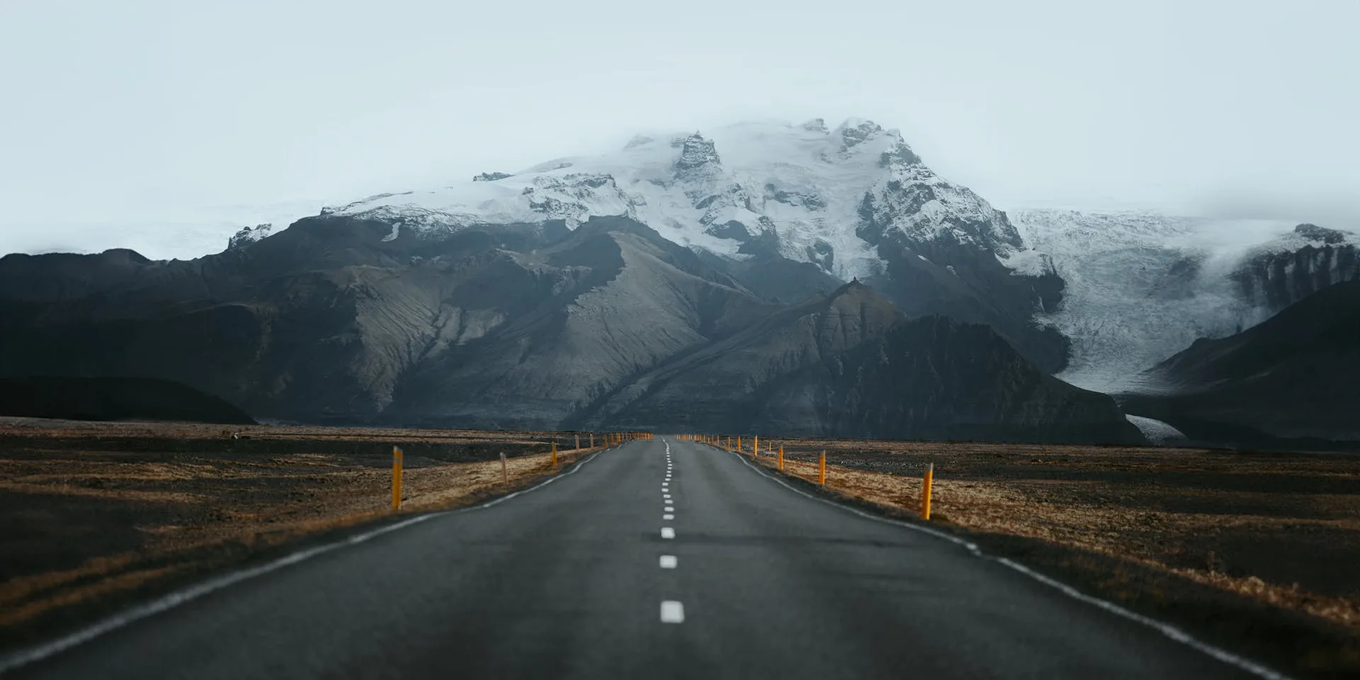
The road from the Hunza Valley to Khunjerab Pass is the northern crown of the Karakoram Highway — the section where the scenery shifts from the lush terraced orchards and ancient forts of Karimabad to the stark, glaciated high desert of the Pakistan-China border. This concentrated stretch of approximately 170 kilometres packs an extraordinary density of landmarks: the turquoise Attabad Lake, the cathedral-like Passu Cones, the thrilling Passu Suspension Bridge, the border post at Sost, and finally the Khunjerab Pass itself at 4,693 metres — the highest paved international border crossing on Earth.
The Hunza Valley is the cultural heart of this route, with Karimabad as its jewel. The town is dominated by the 700-year-old Baltit Fort, a UNESCO-supported heritage site blending Tibetan and Central Asian architectural styles. The valley's Burusho people speak Burushaski, a language isolate unrelated to any known family. In spring, the valley erupts in cherry and apricot blossoms; in autumn, poplar trees turn brilliant gold. Further north, Attabad Lake — formed by a massive landslide in 2010 — offers surreal boat rides on electric-blue water between submerged villages.
This tour is ideal for travelers who want the most dramatic section of the KKH without the longer drive from Islamabad. Flying into Gilgit and driving north, you experience the best of upper Hunza in a compact timeframe, returning via the same route or optionally crossing into China for adventurous travelers with the appropriate visa.
Quick Facts
7–9 Days
Duration (Islamabad round trip)
Apr–Oct
Best Season (Khunjerab open May–Oct)
Easy
Difficulty (vehicle-based with short walks)
4,693m
Max Elevation (Khunjerab Pass)
Gilgit / Islamabad
Starting Point
2–12 Travelers
Group Size